
TRACK SPRAYING & MONITORING
Drones have revolutionised the way New Zealand’s hill country tracks and farmland are maintained.
Using advanced GPS guidance, terrain-following radar, and precision nozzles, we can apply sprays exactly where it's needed while keeping operators safe and off steep, uneven ground. With no soil compaction, no need for heavy machinery, and far less chemical waste, drone spraying is efficient, environmentally responsible, and ideal for both wet and rugged conditions.
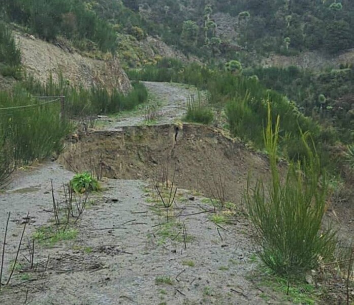
At the same time, high-resolution imagery and data gathered during flights giving clear insights into your tracks conditions, slips and ensuring access is possible all year round.
OUR SERVICE BENEFITS
Benefits include:
Uses of Drones in Track Monitoring and Spraying
- Targeted Herbicide Application: Apply sprays precisely on weeds and gorse along tracks and boundaries, reducing overall chemical use.
- Difficult Terrain Access: Treat steep gullies, waterways, and hard-to-reach hill areas where vehicles can’t operate safely.
- Track Condition Monitoring: Capture detailed aerial imagery for erosion assessment, track wear, and vegetation encroachment.
- Post-Treatment Evaluation: Record and compare imagery over time to measure the success of spraying and regrowth control.
- Weed and Pest Identification: Detect early infestations with multispectral imaging and plan targeted interventions.
- Mapping and Planning: Create high-accuracy maps to mark treated zones and areas requiring future attention.
Advantages of Drone Use in Track Work
- Improved Safety: Keeps operators away from hazardous terrain and chemical exposure.
- Reduced Chemical Use: Precision spraying cuts down chemical volumes, saving costs and protecting the environment.
- No Soil Compaction: Lightweight aerial application prevents track damage and maintains soil health.
- Greater Efficiency: Operates in wet conditions and completes work faster than ground vehicles.
- Enhanced Precision: Terrain-following radar and adjustable nozzles deliver uniform coverage, even on slopes.
- Valuable Data Collection: High-resolution imagery supports informed decisions for long-term land management.
- Sustainable and Cost-Effective: Offers a modern, environmentally responsible solution for maintaining productive landscapes.